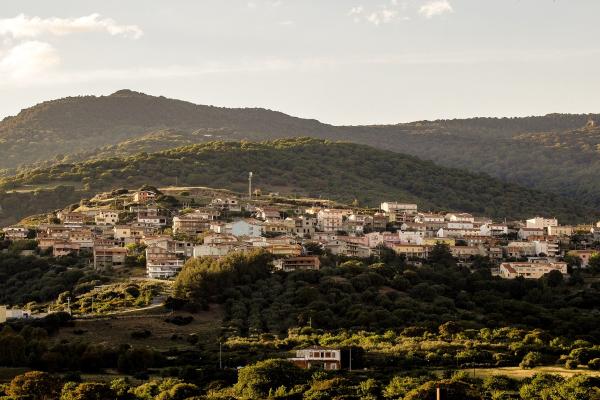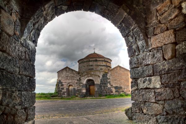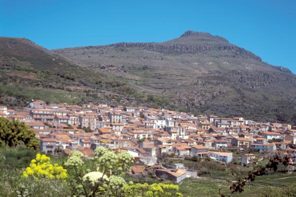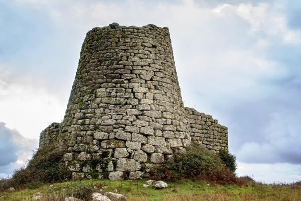
Mountain
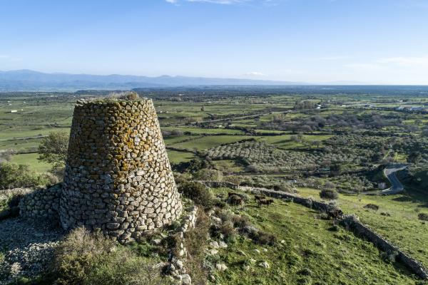
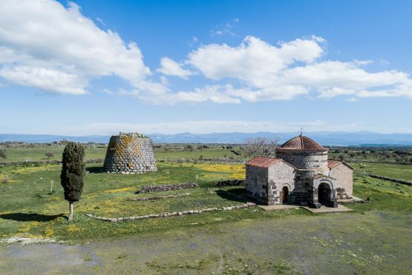
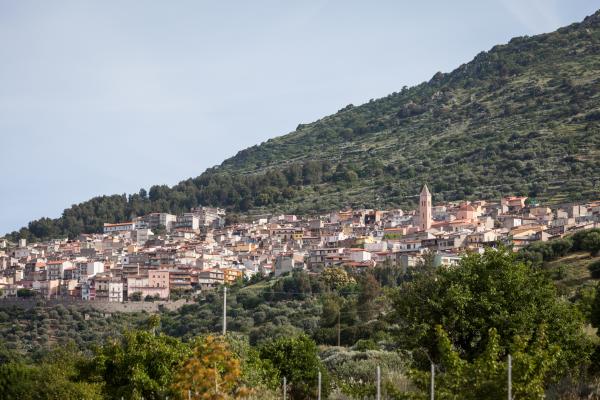
The mountain ranges of Sardinia, like those of nearby Corsica, are not the continuation of the Italian ones, unlike the French Maritime Alps. In reality, however, Sardinia doesn't possess real mountain chains and also those that seem as such are in effect alignments of ancient pits. Among these are the chain of the Marghine and that of the Goceano, that are positioned in succession as a single west to east alignment in the central-northern area of the island. The mountainous system of the Marghine, that covers a large surface area, falls within a number of municipal areas. Bolotana, Borore, Bortigali, Dualchi, Lei, Noragugume and Silanus are the towns in whose territory the chain of the Margine falls, together with Macomer, the small town that acts as the main town of this region. The Marghine, that has its highest peak at Punta Palai (1200 m) in the territory of Bolotana, is in reality the edge of a highland, that culminates in a series of trachyte peaks that have the characteristic forms of towers. It is a territory of great naturalistic value, with points of extreme interest, like the woods of Downy oaks or the springs that mark Monte Santu Padre (1120 ms) in the territory of Bortigali or the volcanic peak of Monte S. Antonio di Macomer (808 m), from which a spectacular sight can be had of the Planargia, Montiferru, Gennargentu, and on the clearest days also as far as Campidano. Its name is probably connected to the strategic function that these high ground offered right from the Punic age (the name Macomer is of Semitic linguistic origin) and then mostly in the Roman era, when the area of the Marghine became the border between the more Romanised areas and those in which the penetration of the new conquerors met a greater number of obstacles. This is the area that, together with the Goceano, has the greatest concentration of prehistoric and proto-historic monuments in Sardinia, probably for more than one reason. Undoubtedly the increasing amount of research, allied with the position of some sites that are distant from the modern traffic arteries and more urbanised areas, has lead to the discovery of a large number of well-preserved monuments. A must-see in the territory of Macomer is the archaeological area of Tamuli, with a nuraghe, three giants’ tombs and six conical menhirs, of which the three largest (between 1.24 and 1.40m in height) show two mammillary ashlars. Of great importance for the history of Sardinia is also the domus de janas necropolis of Filigosa, from which the bronze age culture of Abealzu-Filigosa takes its name. At Birori the giants tombs of Palatu and Lassia are of great interest. In Bolotana a small, but fascinating park can be visited, in the locality of Badde 'e Salighes, set up at the end of the nineteenth Century by the English engineer Benjamin Piercy who was in charge of building the Sardinian railroads, who around his own Liberty style villa (also within in the grounds of the park) had a large number of plants and aboriginal and exotic trees planted that today give life to a garden of remarkable botanical interest.